Which layer does your industry need?
Data, GIS and industry applications come from one platform. Pick your industry to see the layers people usually start with.
By industry

Real estate
Parcels, inventory, projects and valuation.
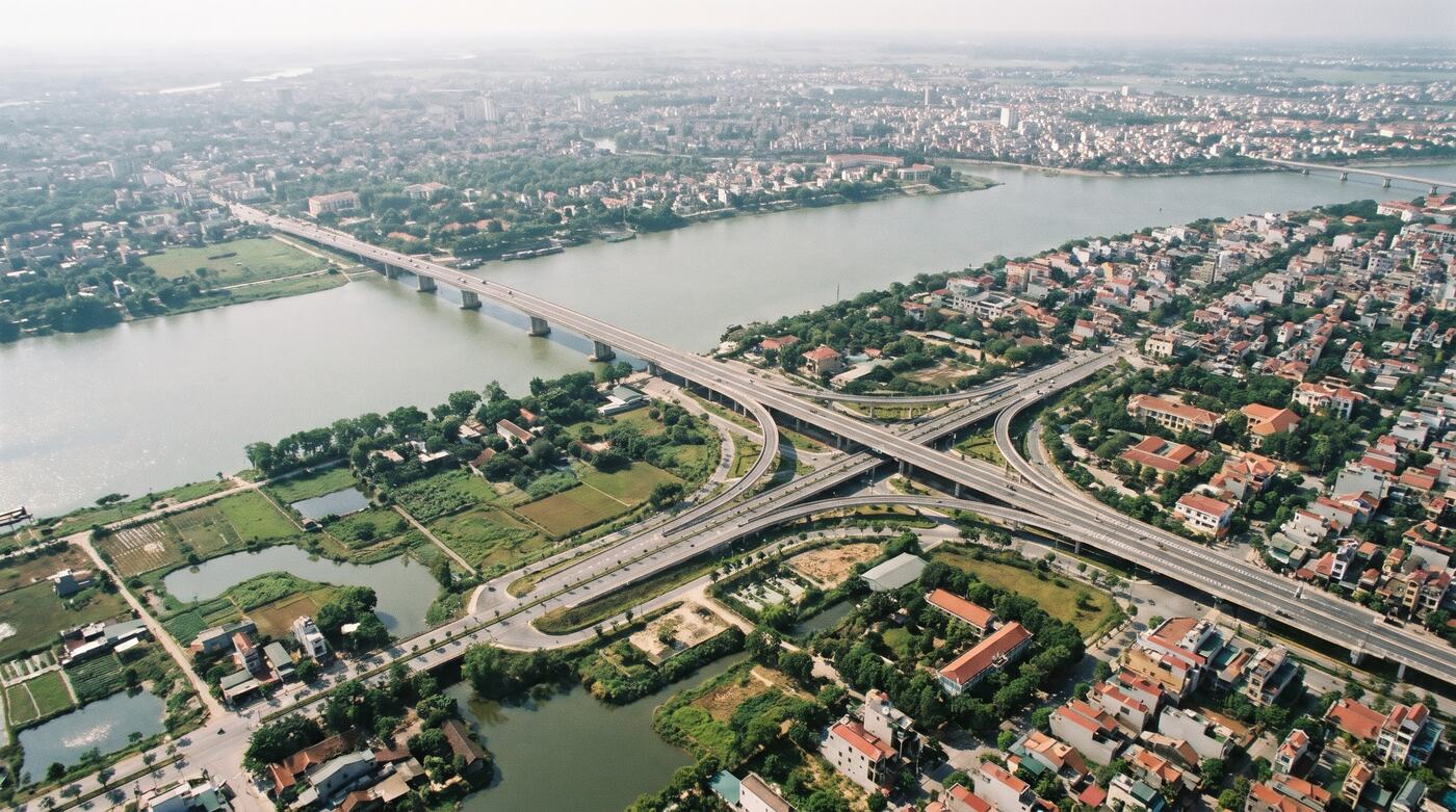
Logistics
Addresses, routes and transport networks.
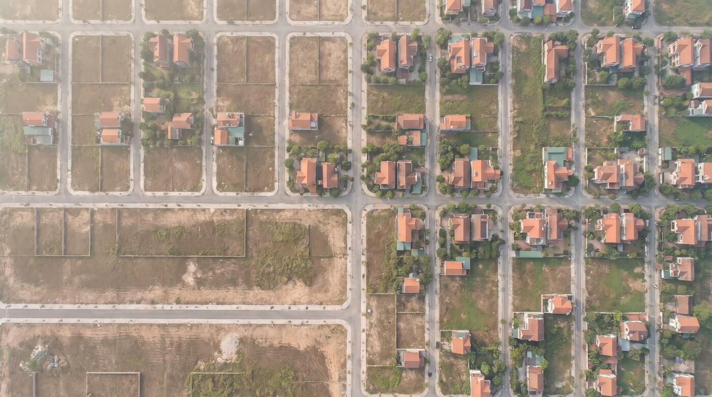
Finance & insurance
Location data and asset portfolios.
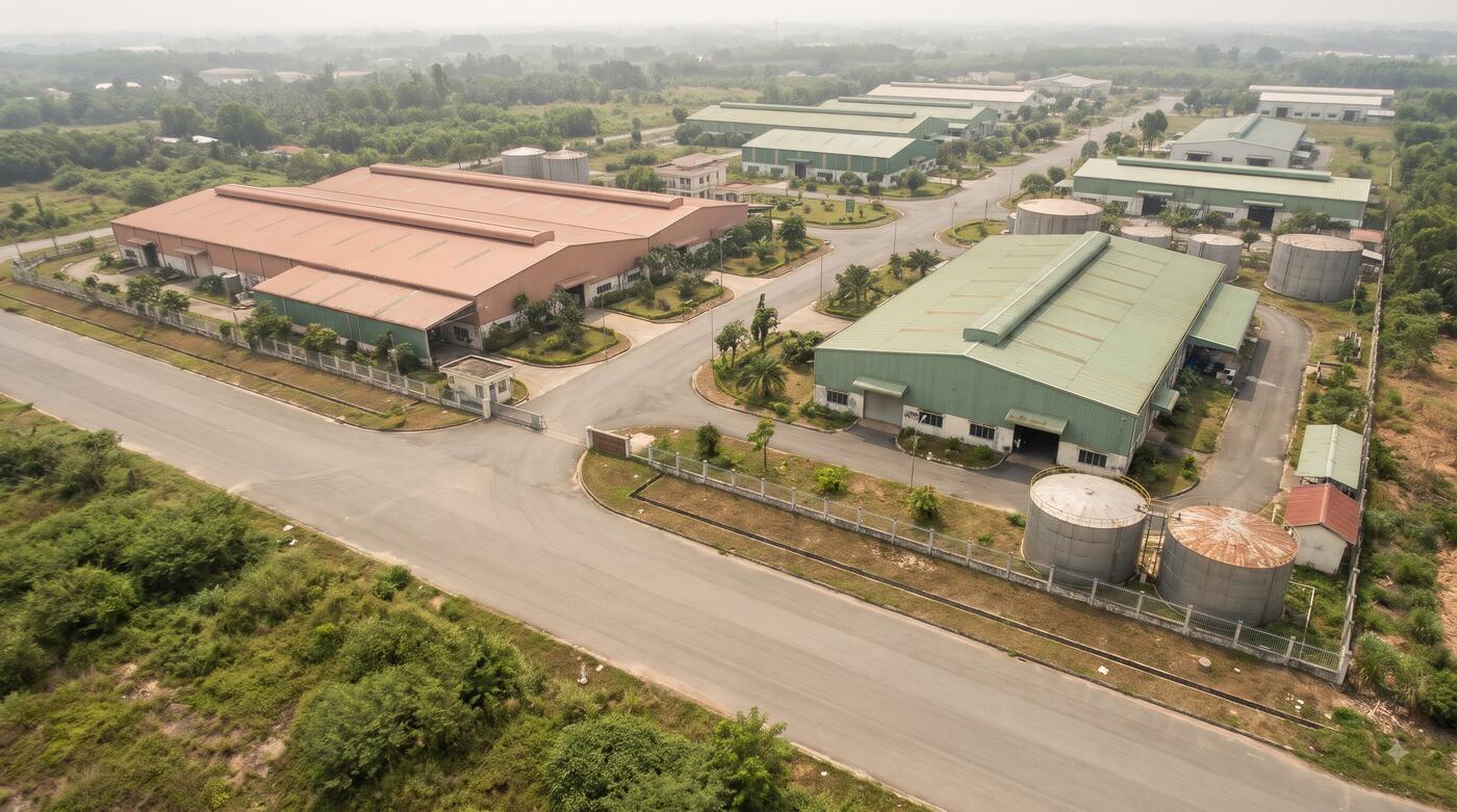
Industrial parks
WebGIS, structures, assets and infrastructure.
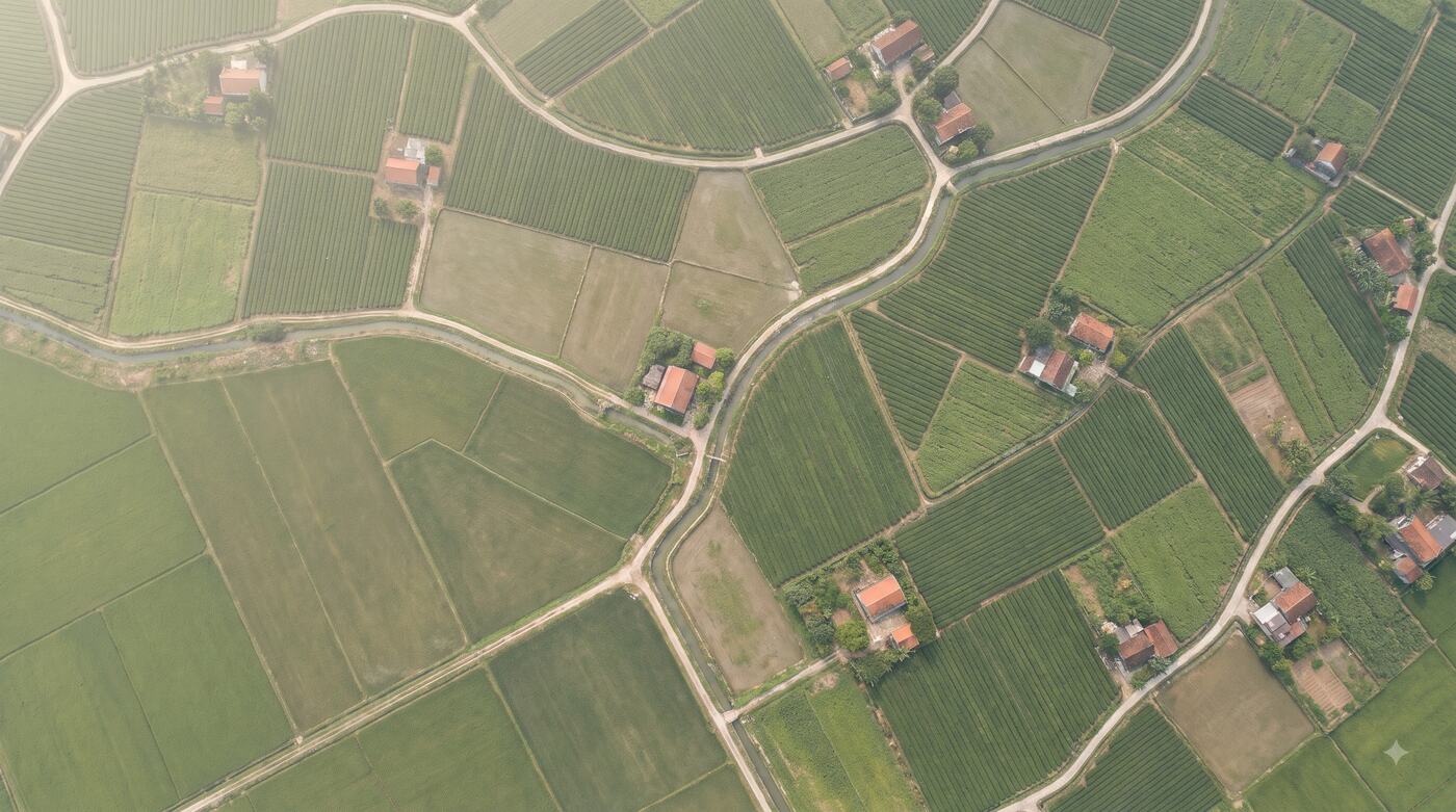
Agriculture & medicinal herbs
Growing areas, logs and product origin.
Agencies & public bodies
Database standardisation, maps and shared data.
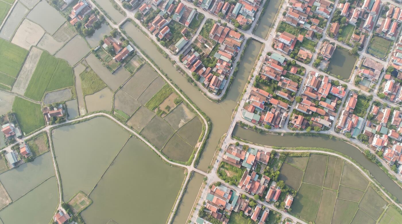
Illustrative images.
Or go straight to a solution.
- Land & planning dataAn input for valuation
- Address standardisationFree sample check
- GeoAPI & digital mapsFree to try
- Real-estate WorkspaceFree and paid plans
- WebGIS & Digital TwinBook a demo
- Digital agriculture & traceabilityWorkflow demo
- Traffic & camera GISSystem consultation
- GIS Data FactoryGet a processing plan
- Project dataData review

Not sure which solution fits?
Describe the work and the systems you run. Sigland will suggest the right product.
Talk to the solutions team