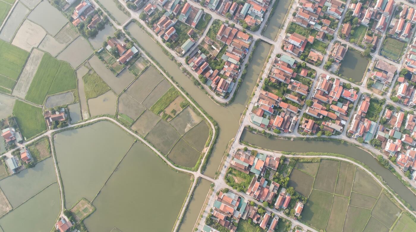
Illustrative image.
Spatial data, clean and ready to run.
CAD/GIS conversion, topology checks, attribute clean-up, address standardisation and dataset building, ready to load into the GIS you already run.
ForConsultants, main contractors, developers, owners of large datasets
Where things get stuck.
Data comes in many formats
CAD, Shapefile, GeoJSON and Excel share no common structure.
Geometry and attributes are wrong
Overlaps, gaps, wrong codes and missing attributes make the GIS unusable.
Nothing to accept the work against
There is no output standard, no check report and no process for loading into the system.
How it is used at work.
Each solution follows the way an industry already works. It does not start from a feature list.
GIS main contractors
Bring Sigland in to clean the data and run QA before acceptance.
Asset-management companies
Standardise addresses and coordinates, and put the asset inventory on the map.
WebGIS implementers
Turn source data into layers that can be published and queried.
What you receive.
The output of every package is written into the technical proposal or the contract: data scope, tools, quality and what each side is responsible for.
- Spatial data standardised to the acceptance format
- An error report and QA results
- A metadata catalogue and conversion rules
- Handover and test records per the SOW
Price: Quoted by accepted volume
The rate depends on data type and input quality. For example: Address Clean at 3,000,000–10,000,000 VND per 10,000 records, CAD/GIS conversion at 3,000,000–10,000,000 VND per standard map sheet.
Get a technical assessmentPrices exclude VAT. Scope and data rights are set by contract.Settle the scope first, then expand.
- 1
Take the brief
We get to know your business, your data and the result you need.
- 2
Sample check or demo
We test the fit and the data approach.
- 3
Proposal and contract
Volume, price, schedule and acceptance are confirmed.
- 4
Handover and operation
Rollout, reconciliation, support and improvement.
Worth knowing before you buy.
- Do you accept CAD/DGN data?
- Formats can be assessed within the project scope, once the map standard and the required output are verified.
- Do you commit to an error rate?
- The error rate and the acceptance method are agreed after input quality is measured on a sample.
- Do you do field surveying?
- Work that requires a surveying licence is done with a qualified partner under a suitable contract.
Other layers on the same ground.
Project data
Units, product codes, floor plans and statuses standardised into one dataset for the life of the project.Land & planning data
Look up parcels and planning layers in confirmed areas, through an API or delivered under contract.Address standardisation
Match old addresses to the new 34-province model, merge duplicates and add coordinates for your CRM and TMS.

Send a data sample, or book a demo.
Your request goes to the right solutions team to assess, scope and quote.
Talk to the solutions team