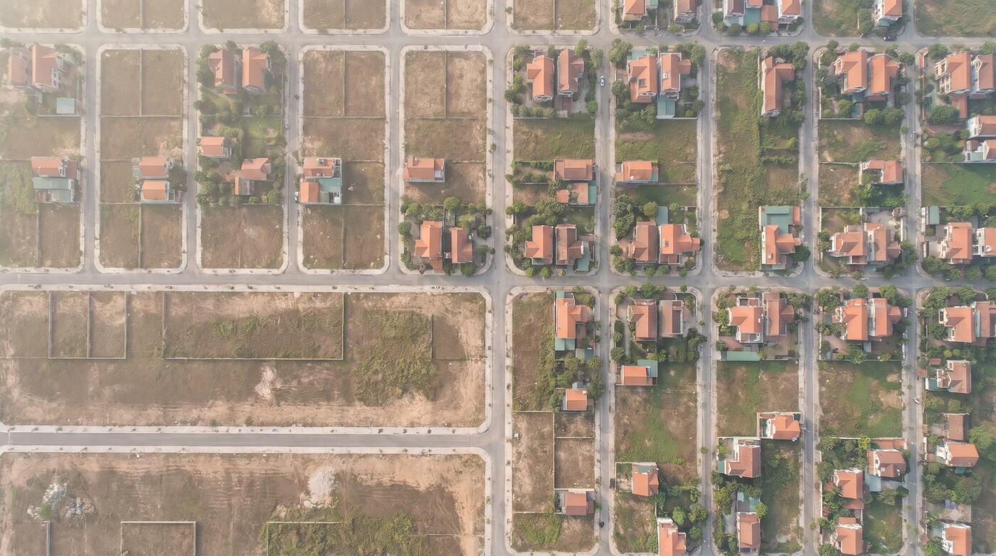
Land & planning data
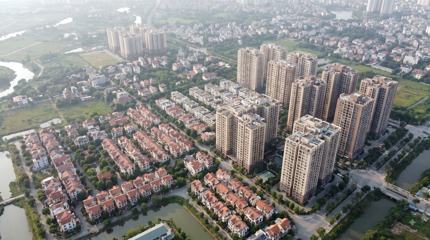
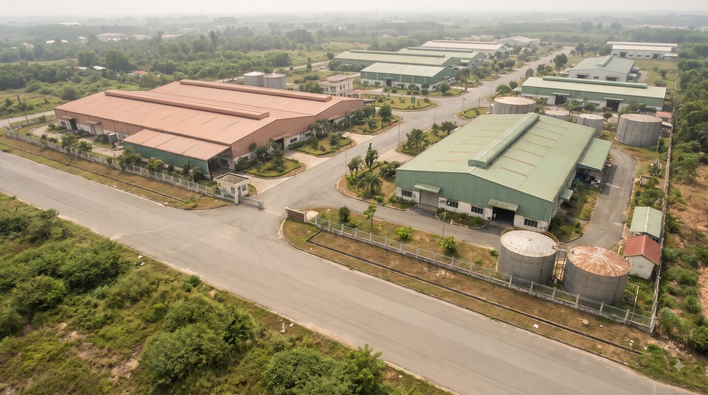
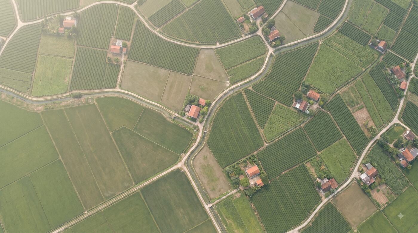
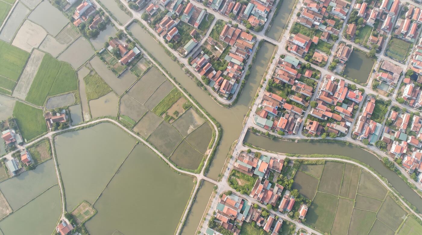
Bring parcel information, planning layers and spatial maps into the systems you use for valuation, operations and asset management.
What you receive
- A parcel lookup API for confirmed areas
- Map layers and data within the contracted scope
- Documentation of fields, sources and dates where available
- Support for integration and sample testing