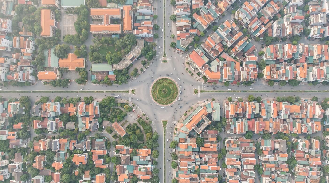
Illustrative image.
Traffic and cameras on one map.
Junction locations, roads, cameras and event information on one GIS screen for management, coordination and operations.
ForInfrastructure managers, logistics, industrial parks, city operations
Where things get stuck.
Cameras are not tied to where they operate
Devices are found by hand, from a name or a loose address.
No single map of the network
Junctions, roads and structures are not tracked in one place.
Incidents are hard to coordinate
Nothing links the alert, the location and the assets involved.
How it is used at work.
Each solution follows the way an industry already works. It does not start from a feature list.
Industrial-park management
Manage camera locations at gates, along roads and at key points, with maintenance records.
Logistics companies
Follow bottlenecks, transport flows and service-area information.
Operations centres
Bring camera and event metadata into GIS from sources you have the right to use.
What you receive.
The output of every package is written into the technical proposal or the contract: data scope, tools, quality and what each side is responsible for.
- A map of junctions and camera assets
- Status, metadata and reports by access right
- Integration of legitimate event sources within scope
- Acceptance of video rights and storage infrastructure
Price: From 7,900,000 VND a month
The entry price for managing basic camera locations, status and events. Video storage, image-processing AI and bandwidth are priced separately.
Request a quotePrices exclude VAT. Scope and data rights are set by contract.Settle the scope first, then expand.
- 1
Take the brief
We get to know your business, your data and the result you need.
- 2
Sample check or demo
We test the fit and the data approach.
- 3
Proposal and contract
Volume, price, schedule and acceptance are confirmed.
- 4
Handover and operation
Rollout, reconciliation, support and improvement.
Worth knowing before you buy.
- Does Sigland sell public camera feeds?
- Not by default. Images and video are distributed only where there is a clear right to use them.
- Do you store video?
- It can be designed in on request, but storage, bandwidth and security costs are quoted separately.
- Can you integrate cameras we already have?
- That needs a survey first: protocols, access rights, integration options and security policy.
Other layers on the same ground.
GIS Data Factory
CAD/GIS conversion, topology checks and attribute clean-up, delivered as a dataset ready for acceptance.Project data
Units, product codes, floor plans and statuses standardised into one dataset for the life of the project.Land & planning data
Look up parcels and planning layers in confirmed areas, through an API or delivered under contract.

Send a data sample, or book a demo.
Your request goes to the right solutions team to assess, scope and quote.
Talk to the solutions team