Trial
Free
A public demo key for assessing the API groups and the quality of the results.
- No sign-up
- 10 requests per second
- 120 requests per minute
- 2,000 requests per hour
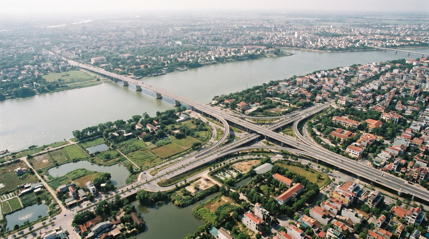
Illustrative image.
Addresses, POIs, geocoding, routing, boundaries, VN-2000, base maps and parcels by area, in one set of APIs.
ForSaaS, mobile apps, logistics, PropTech, dev teams
Stitching several APIs together leaves you with inconsistent data structures and authentication.
Not every platform supports the old 63 provinces, the new 34 and VN-2000.
Geocoding volume, map tiles and route matrices need clear units and quotas.
Each solution follows the way an industry already works. It does not start from a feature list.
Address search, reverse geocoding, routing and service areas on the map.
Embed a map, look up by sheet and parcel where data exists, and query coordinates.
Display thousands of business locations and calculate distance by road.
The output of every package is written into the technical proposal or the contract: data scope, tools, quality and what each side is responsible for.
Three options, as set out in the published price list. Production API pricing is quoted by API group, volume, region, data and level of support.
Get an API quotePrices exclude VAT. Scope and data rights are set by contract.Free
A public demo key for assessing the API groups and the quality of the results.
By usage
Your own API key, with usage agreed per application.
By contract
Parcels, planning and specialised datasets by area.
Place search, suggestions, geocoding and reverse lookup.
Base maps and map layers, embedded in web and mobile apps.
Routes, multiple stops, time matrices and service areas.
Parcel and planning-layer lookup in confirmed areas.
Boundaries for 34 and 63 provinces, and VN-2000/WGS84 conversion.
Specialised datasets, through an API or delivered under contract.
We get to know your business, your data and the result you need.
We test the fit and the data approach.
Volume, price, schedule and acceptance are confirmed.
Rollout, reconciliation, support and improvement.

Your request goes to the right solutions team to assess, scope and quote.
Talk to the solutions team