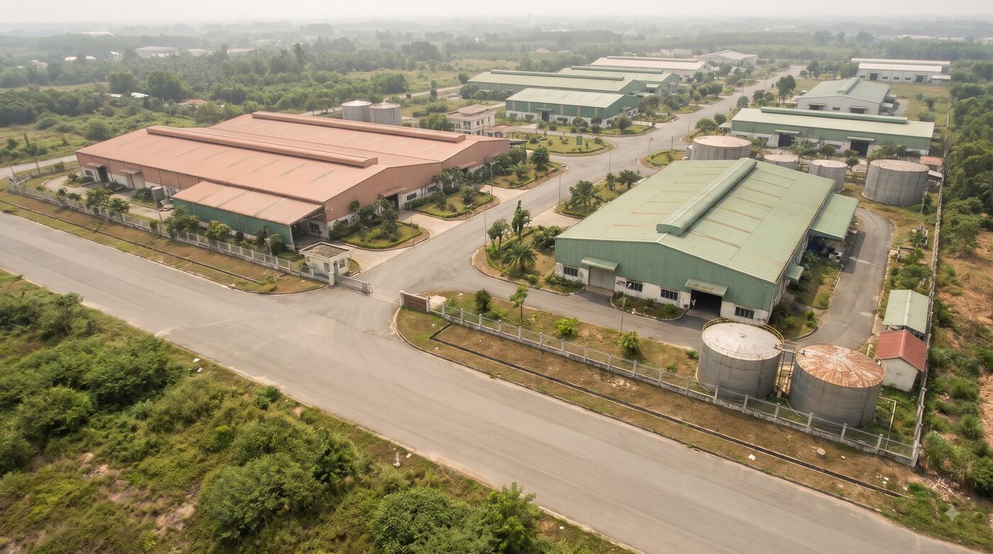
Illustrative image.
Every asset and network on one 2D/3D map.
One shared data space for industrial parks, townships, structures and infrastructure networks, tied to records, operating status and specialised data layers.
ForIndustrial parks, developers, infrastructure managers, system integrators
Where things get stuck.
Drawings, records and data are scattered
Operations staff open several CAD files, spreadsheets and systems to find one asset.
No spatial view
It is hard to follow where structures and utility lines are, their condition, or an incident.
Departments struggle to coordinate
Data is updated unevenly, without access control or an activity log.
How it is used at work.
Each solution follows the way an industry already works. It does not start from a feature list.
Industrial parks
Manage the park boundary, plots, roads, water supply and drainage, and structures on one map.
Township developers
Track assets, buildings and amenities, combining 2D layers with 3D models where data exists.
Infrastructure operators
Attach asset codes, records, status, history and work orders to the map.
What you receive.
The output of every package is written into the technical proposal or the contract: data scope, tools, quality and what each side is responsible for.
- A WebGIS for managing data layers, assets and users
- 2D/3D maps built from your input data
- Integration with operating processes and existing systems, per the SOW
- Training, acceptance and operation under contract
Price: From 350,000,000 VND for a standard pilot
The entry price for a standard scope. UAV surveys, new 3D models, IoT, cameras and large system integrations are quoted by scope.
Get a technical proposalPrices exclude VAT. Scope and data rights are set by contract.Settle the scope first, then expand.
- 1
Take the brief
We get to know your business, your data and the result you need.
- 2
Sample check or demo
We test the fit and the data approach.
- 3
Proposal and contract
Volume, price, schedule and acceptance are confirmed.
- 4
Handover and operation
Rollout, reconciliation, support and improvement.
Worth knowing before you buy.
- Can we reuse the CAD/GIS data we already have?
- Yes. We survey it, then convert and standardise it before the WebGIS is rolled out.
- Is a Digital Twin already available for every area?
- No. A 3D model depends on the input data, the scope and the build approach agreed.
- Can it be deployed privately?
- Cloud or on-premise can both be assessed against your security, infrastructure and contract requirements.
Other layers on the same ground.
Digital agriculture & traceability
Plot coordinates, production logs, harvest lots and QR codes joined into a single record trail.Traffic & camera GIS
Junctions, roads, cameras and events on one GIS screen for management and coordination.GIS Data Factory
CAD/GIS conversion, topology checks and attribute clean-up, delivered as a dataset ready for acceptance.

Send a data sample, or book a demo.
Your request goes to the right solutions team to assess, scope and quote.
Talk to the solutions team