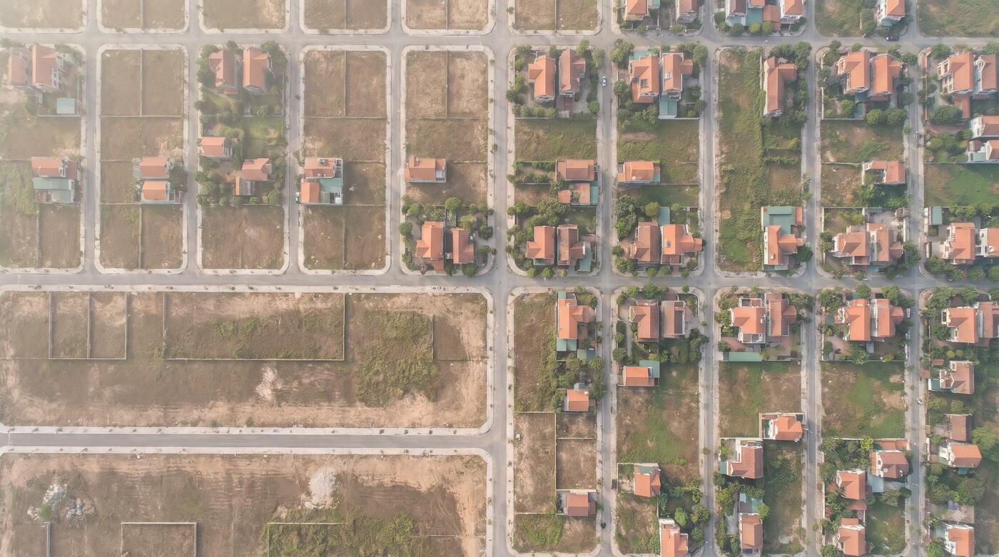
Illustrative image.
Parcels and planning, ready to analyse.
Bring parcel information, planning layers and spatial maps into the systems you use for valuation, operations and asset management.
ForBanks, valuers, PropTech, developers
Where things get stuck.
Lookups across many sources
Every area is looked up a different way. Staff collect the results by hand before they can write a report.
One asset is hard to reconcile
Address, parcel, planning and business records sit in separate systems.
Hard to build into software
There is no consistent dataset or API for bulk lookups.
How it is used at work.
Each solution follows the way an industry already works. It does not start from a feature list.
Valuation firms
Call parcel data by coordinates, check planning, attach the result to the valuation file and flag what needs a second look.
Property apps
Show geographic information where data exists, and lead users from the map to the asset record.
Portfolio managers
Group asset locations by area, filter the portfolio and organise the data for analysis.
What you receive.
The output of every package is written into the technical proposal or the contract: data scope, tools, quality and what each side is responsible for.
- A parcel lookup API for confirmed areas
- Map layers and data within the contracted scope
- Documentation of fields, sources and dates where available
- Support for integration and sample testing
Price: Quoted by data scope and volume
Parcel and planning data is quoted by area, data type, number of records and usage rights.
Send the area you needPrices exclude VAT. Scope and data rights are set by contract.Settle the scope first, then expand.
- 1
Take the brief
We get to know your business, your data and the result you need.
- 2
Sample check or demo
We test the fit and the data approach.
- 3
Proposal and contract
Volume, price, schedule and acceptance are confirmed.
- 4
Handover and operation
Rollout, reconciliation, support and improvement.
Worth knowing before you buy.
- Do you have data for the whole country?
- Coverage depends on the area and the dataset. Sigland confirms it before it goes into a contract.
- Can we download the data and resell it?
- Access, storage, redistribution and handover rights are set out specifically in the contract.
- Does it replace legal documents?
- No. GIS information is for reference and analysis. It does not replace legal records confirmed by the competent authorities.
Other layers on the same ground.
Address standardisation
Match old addresses to the new 34-province model, merge duplicates and add coordinates for your CRM and TMS.GeoAPI & digital maps
Geocoding, place search, routing, base maps, boundaries and VN-2000 coordinates in one set of APIs.Real-estate Workspace
Inventory, listings, the broker in charge and access rights for the whole brokerage, in one workspace.

Send a data sample, or book a demo.
Your request goes to the right solutions team to assess, scope and quote.
Talk to the solutions team